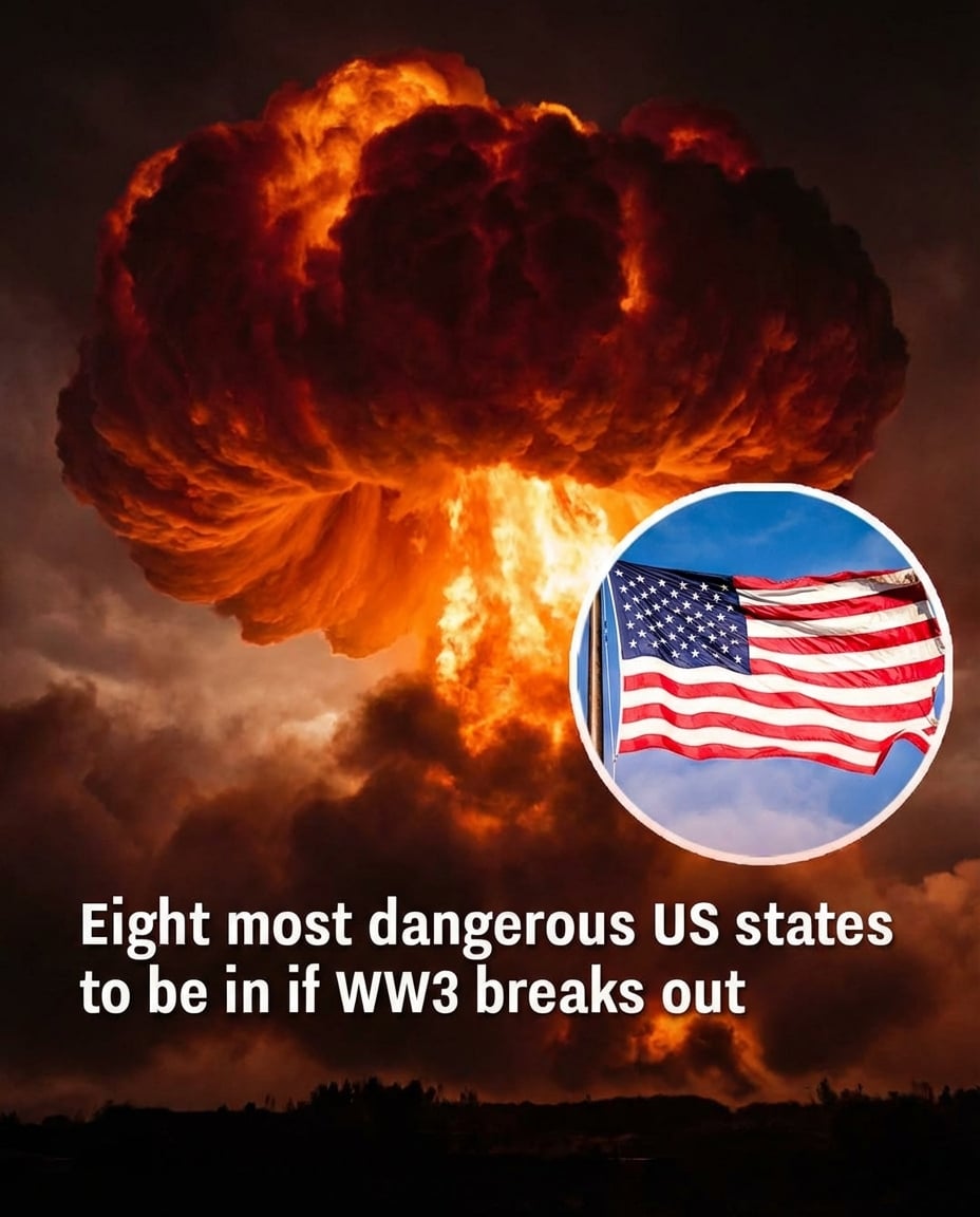
Behind the maps and models lies a sobering reality: vulnerability in a nuclear conflict is shaped less by fear than by infrastructure. States like Montana, Wyoming, Colorado, Nebraska, North Dakota, South Dakota, Iowa, and Minnesota are often spotlighted because they host key missile fields, making them more likely candidates for direct strikes in worst‑case planning exercises. Their geography has become part of the nation’s nuclear shield—and its potential bullseye.
Yet even regions considered “lower risk,” such as much of the Northeast, Mid‑Atlantic, and Southeast, would not be spared the consequences of a major exchange. Fallout carried by shifting winds, broken supply chains, contaminated water, and long‑term economic shock would ripple far beyond any initial blast zones. That is why serious experts frame these analyses not as prophecy, but as a call to strengthen resilience, emergency planning, and public awareness before disaster ever tests the map.